
Extratropical Cyclone Threatens Southern Brazil Winter Crops While Low River Levels Stress Northern Export Logistics
Intense cyclone targets Paraná and Rio Grande do Sul, risking wheat damage, concurrent with low water levels slowing exports from Miritituba port.
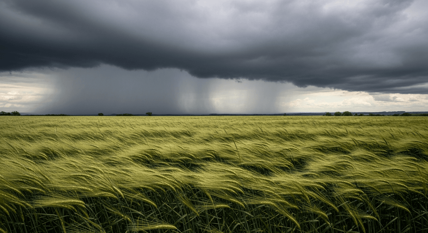
An intense extratropical cyclone is developing near Southern Brazil today, August 6, bringing a critical, two-pronged threat to the country’s agricultural sector: potential crop destruction in the South and increased logistical pressure on northern commodity export routes. The weather system is forecast to bring heavy rain and severe wind gusts, potentially reaching 90 to 110 kilometers per hour, across the major agricultural states of Rio Grande do Sul and Paraná through the weekend. This sudden weather shock coincides with a separate, seasonal constraint in the North, where low water levels on the Tapajós River are already restricting cargo capacity for vessels moving grain through the vital Miritituba export port.
The immediate focus for investors tracking Brazil agribusiness is the crop exposure in the South. The heavy and persistent rainfall, particularly following recent precipitation in Paraná (where rain totaled 50.3mm over the past seven days in Cascavel), poses a risk of waterlogging, erosion, and increased fungal disease for winter crops, especially wheat and canola. Most of the wheat crop in Paraná and Rio Grande do Sul is in the sensitive vegetative or early flowering stage, making it highly susceptible to damage from intense winds, which can cause lodging (flattening of plants) and significant yield loss. Any confirmed damage could place upward pressure on Wheat Futures as the market reacts to supply instability from Brazil, a significant global producer.
Adding to the complexity is the simultaneous logistical pinch in the North, which primarily affects corn and soybean exports. The Tapajós River, a critical artery for funneling grains from the vast Mato Grosso producing region north via the BR-163 highway to the transshipment port of Miritituba, is facing seasonally low water levels. The low levels mean barge operators must reduce the maximum cargo volume per vessel to ensure safe passage, decreasing the efficiency of the entire grain flow. This constraint, exacerbated by the potential for an intensified El Niño in the second half of 2026, could slow down the pace of grain shipment from the interior to global markets. This delayed delivery of supply, particularly for the advancing corn harvest, could offer underlying support to Corn Futures prices.
For investors, the convergence of the severe weather in the South and the persistent logistical hurdles in the North creates immediate pressure points on both physical supply and export throughput. The contrasting nature of the threats—saturation risk in the South versus drought risk in the North—underscores the climate variability impacting Brazil’s export supply chain.
Moving forward, investors should monitor the meteorological reports for the actual track and wind speed of the cyclone over the next 48 hours to assess the extent of the damage to the winter crop. The concrete next data point will be the state crop agencies' initial damage assessments next week. Simultaneously, market participants will be watching for official announcements from port operators at Miritituba regarding specific barge capacity reductions and the knock-on effects on freight rates and the national export pace, which will determine the sustained pressure on the USD/BRL exchange rate and Brazil’s trade balance.